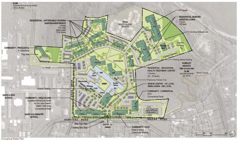
 Click here to view a full size version of the 2020 SMMH Conceptual Master Plan.

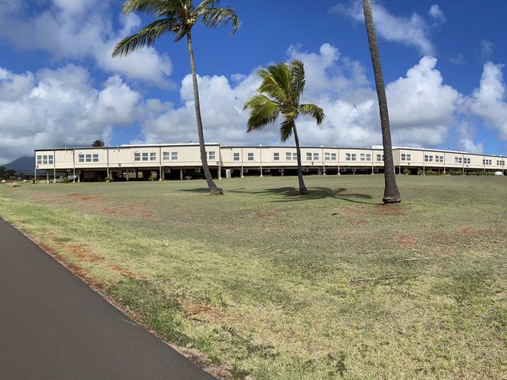
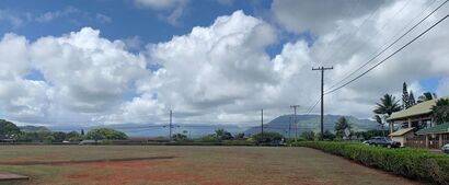
Southeastern view from center of campus.
|
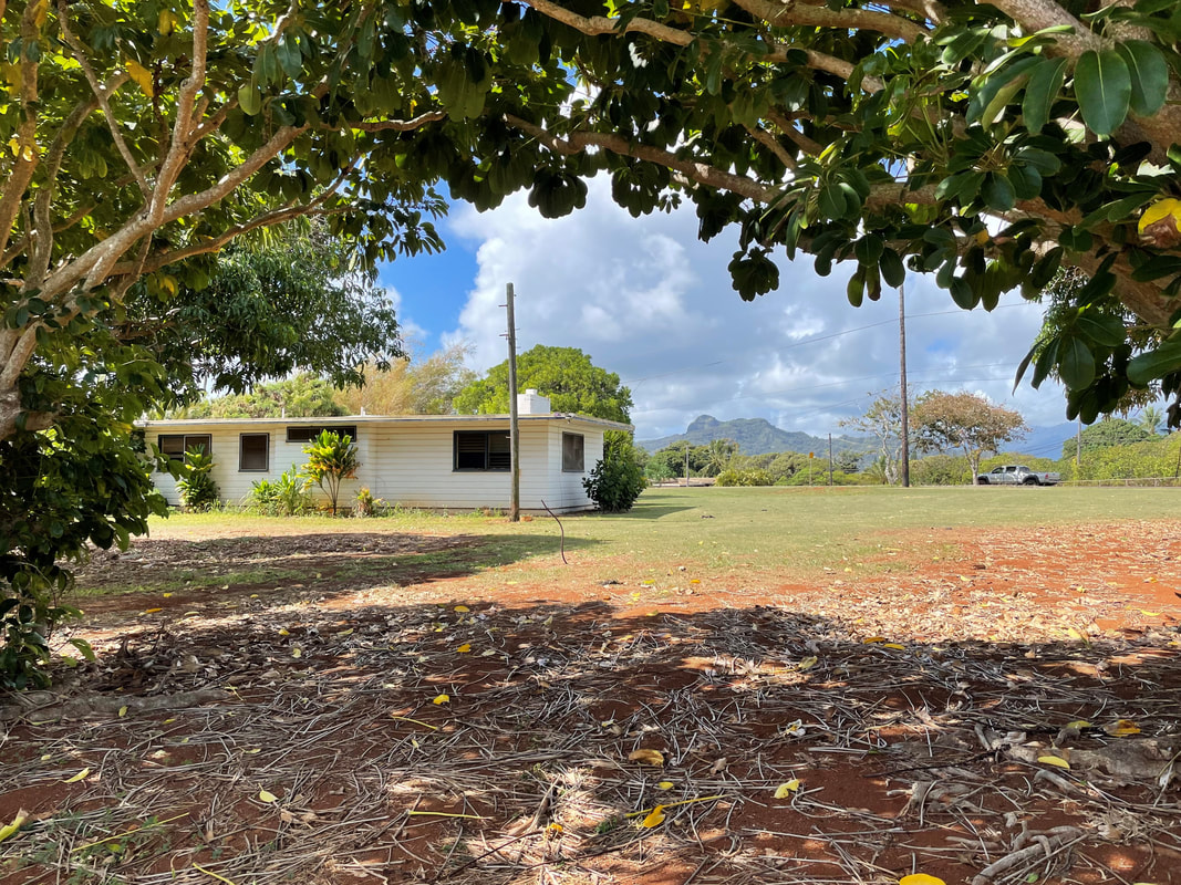
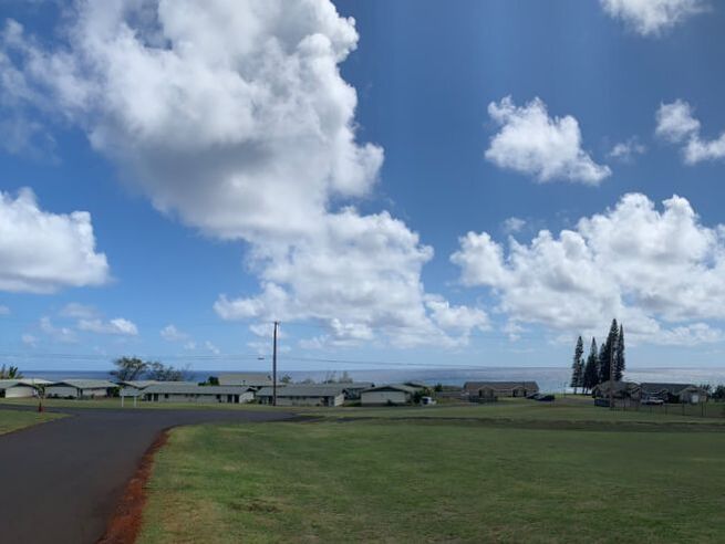
Looking west from northwest corner of campus.
|
|
The original 120 acres of the SMMH property were ceded lands in Kapa‘a, set aside by the Territorial Legislature for the purpose of establishing and maintaining a County Farm and Sanatorium for the treatment and care of persons afflicted with tuberculosis. Under Governor George Ariyoshi in 1987, further subdivision of the ceded lands occurred so that 60 acres were set aside to the Department of Health for the Samuel Mahelona Hospital. In 1998 the Board of Land and Natural Resources (BLNR) deeded the current 34 acres that make up the SMMH Campus to HHSC. The remaining portions were returned to BLNR’s land inventory, and eventually dispersed to other State agencies (G70, 2020).
|
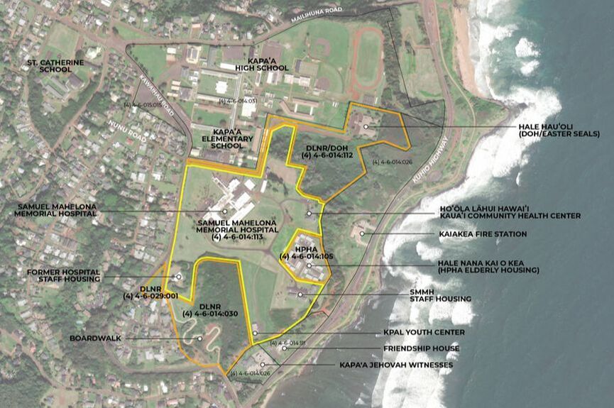
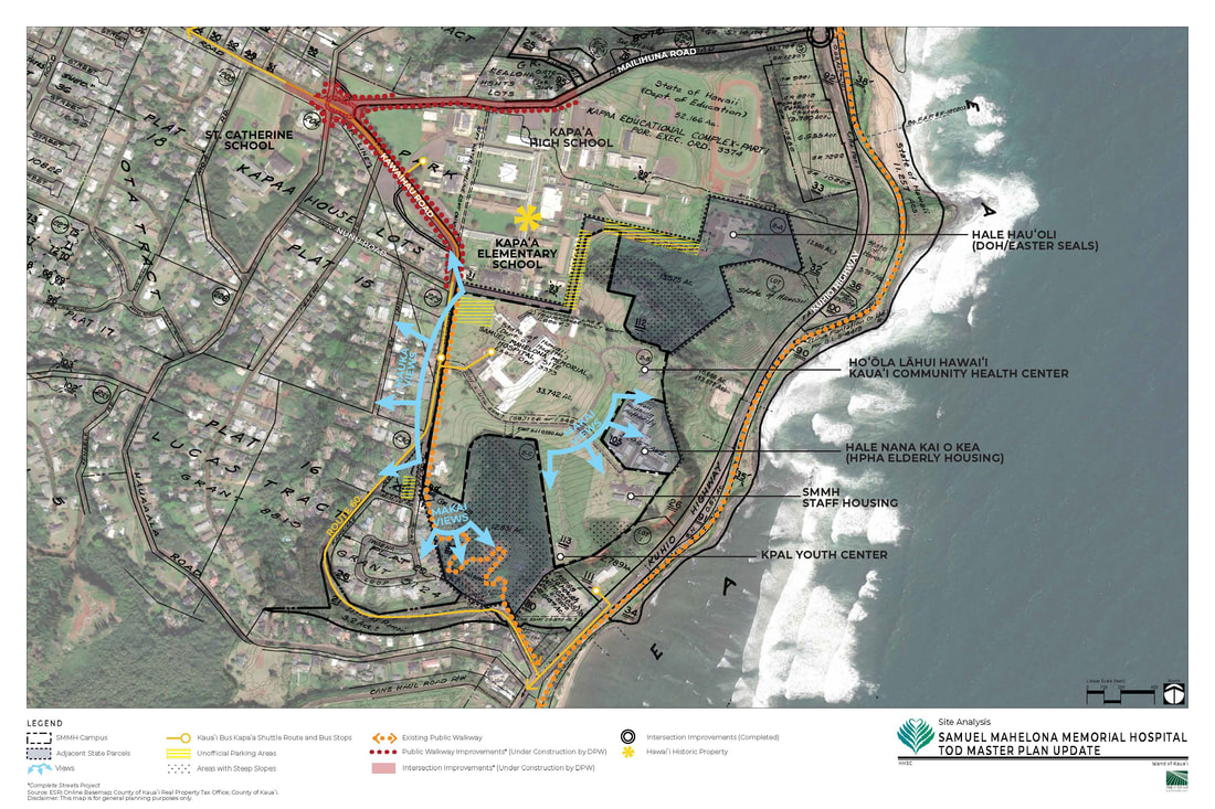
Location map of the SMMH Campus and surrounding area. Click map for a full size version.
|
Gore Park.
View looking east over Hale Nana Kai O Kea Elderly Housing.
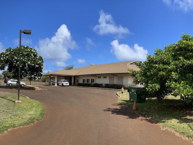
Hale Hau‘oli.
|
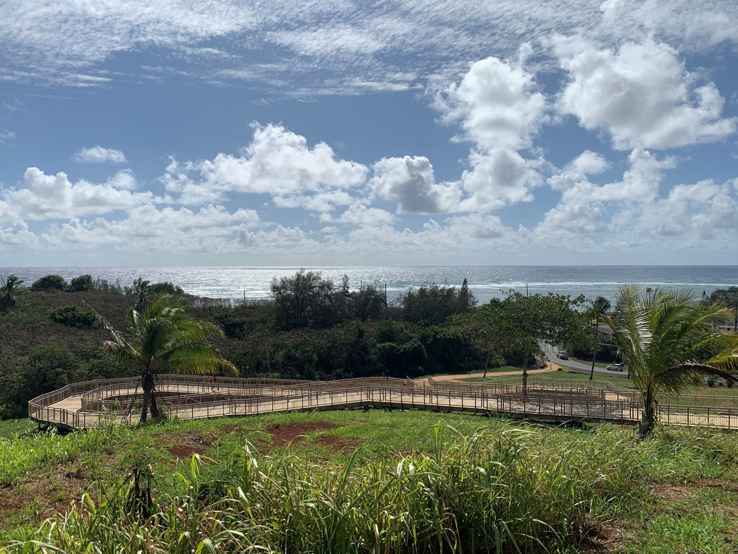
View from top of boardwalk.
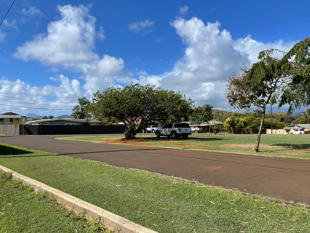
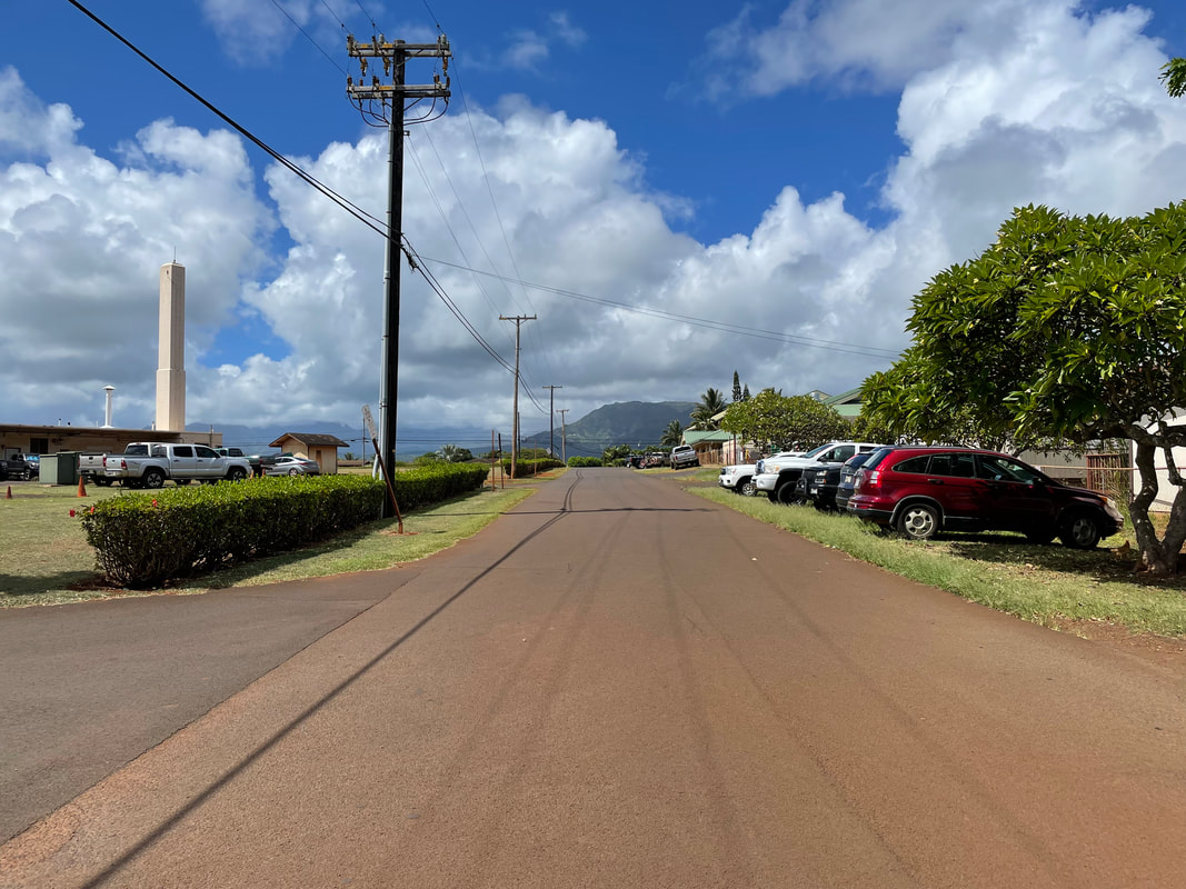
North portion of Nunu Rd./driveway looking west.
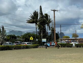
School pick-up traffic.
|
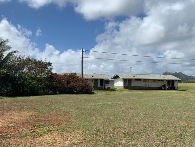
Hale Nana Kai O Kea Elderly Housing.
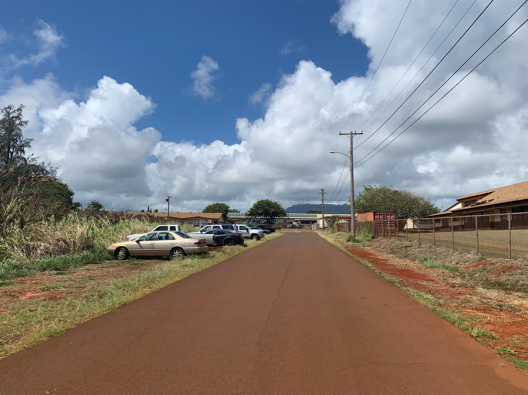
South portion of Nunu Rd./driveway looking west.
|